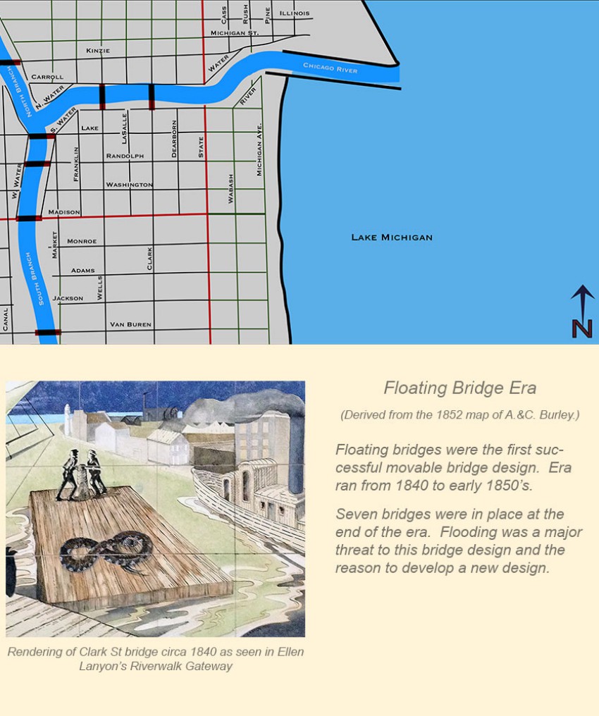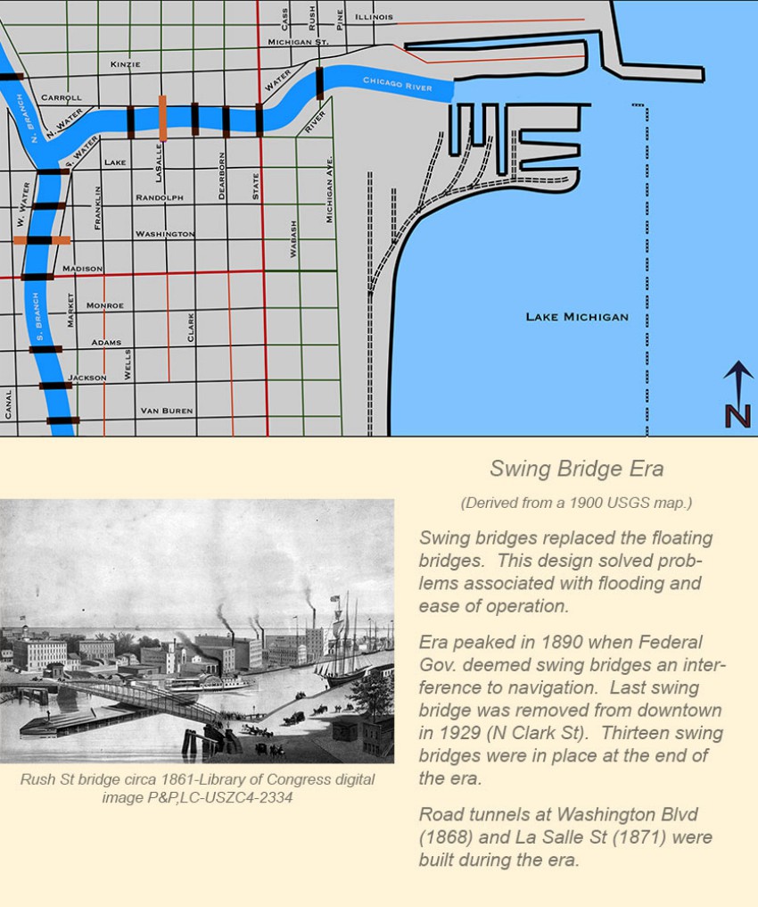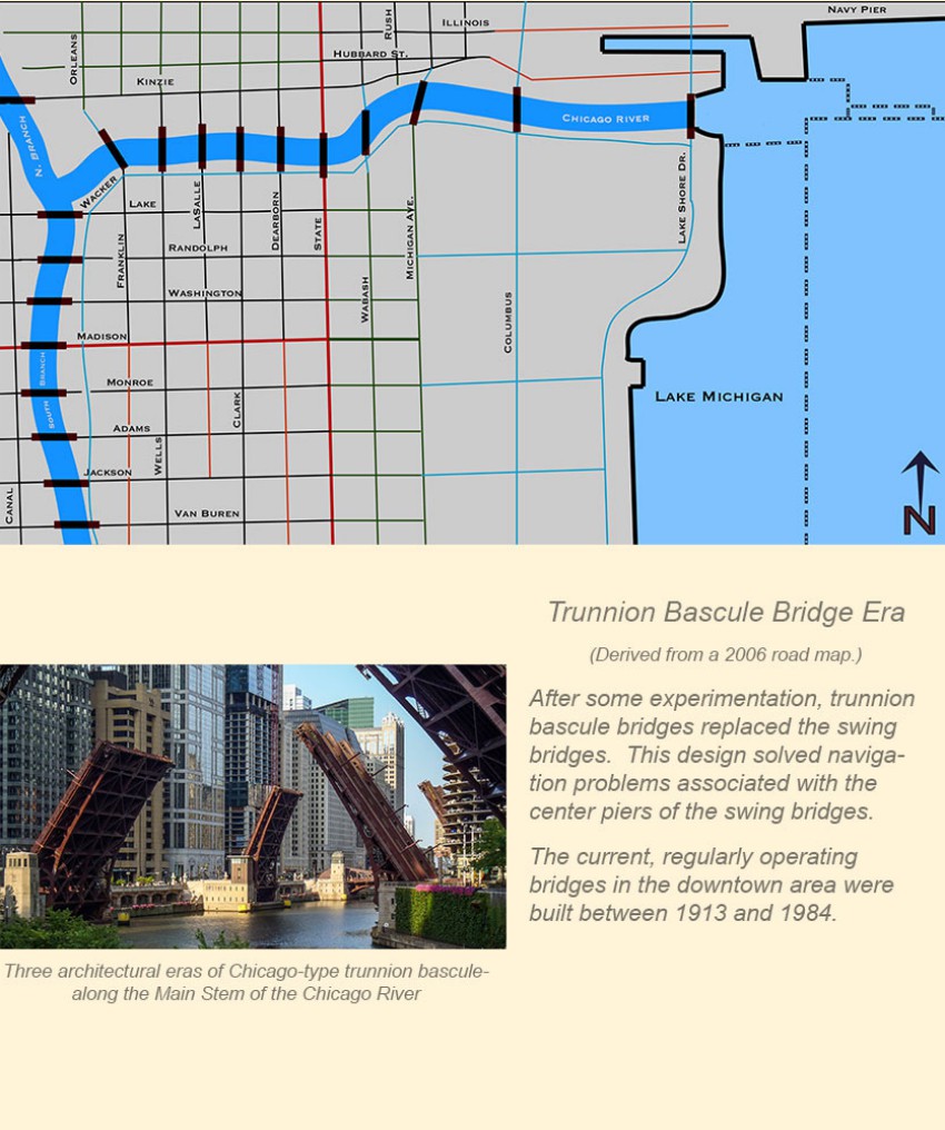


Chicago's movable bridge history can be broken down into roughly four time frames. The maps on this page present a map view and basic description of each era. Note that these maps present a picture at the end of each era.
In each era after 1834, there were multiple bridges at some locations. I have limited my efforts to the street and street/rail crossings. There was a rail crossing (both tunnel and bridge) between Jackson Blvd and Van Buren St that is not included here.
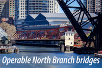
My focus is on the eighteen regularly operating bridges from Van Buren St to Lake Shore Dr. I have included the Kinzie St bridge (opened in 1909) on the North Branch because it provides the closest example of a first-generation Chicago-type bridge in the downtown area. This bridge is not a part of the seasonal boat runs.
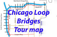
The slide-show below can viewed manually or automatically using the thumbnails at the bottom of the image or the arrows at mid-image.