General Information
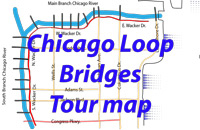
The Chicago River has three sections in downtown Chicago. The Main Stem (or Branch) is the east-west section that extends from Lake Michigan to Wolf Point (the area at the NW corner of the Franklin St. bridge - No. 10 on map below). At Wolf Point the river branches into the North Branch and the South Branch. The eighteen Loop Bridges are located along the Main Stem and the South Branch.

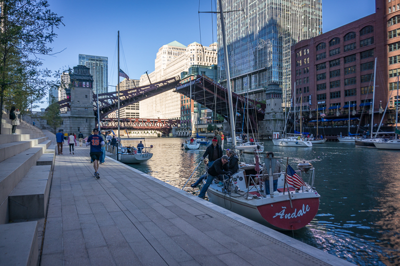
Wacker Drive, a multilevel street that runs both east-west and north-south provides access to the all eighteen bridges at street level. The Chicago Riverwalk provides a continuous water-side path along the south bank of the Main Stem. This path extends from Lake Michigan to the Lake St. bridge (No. 11 on the map) passing under all of the bridges on the Main Stem.
Access to all eighteen bridges is easiest on foot. I enjoy visiting all of the bridges, but I know most visitors have limited time and may not find these bridges as compelling as I do. The navigation buttons above provide links to more information in four different subject areas.
"Points of Interest" describes some of my favorite places on the river. All of these locations are easily accessed and can be enjoyed individually, collectively, or as a part other activites in the area. This list assumes that bridges will not be operating during your visit.
The "Photo Ops" button describes some of our favorite places and views on the river.
Find tips on touring the bridges while they are operating from the "Bridge Operations" button.